
Azure Maps Elevation API is now Generally Available
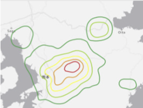
We are pleased to announce the general availability of our Elevation API. For any given point on the Earth’s surface, the Elevation API returns its elevation measured from the mean sea level. Azure Maps Elevation API will provide pole to pole coverage with <4M absolute and <2m relative accuracy. The elevation data uses a digital terrain model (DTM), man-made entities (e.g., buildings) are artificially flattened and elevation is measured to the ground surface.
Use cases & API Types
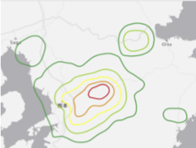
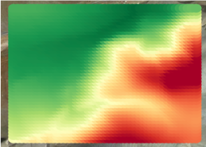
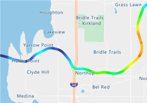
Azure Maps Elevation API is designed to make it easy for developers to build various scenarios leveraging elevation data. The following options are offered along with POST methods to support input of large data.
|
|
|
|
Solar power plant planners can measure elevation across large number of points to determine ideal locations for placing solar panels. |
Mining engineers can measure elevation at specified intervals in each given grid and perform cut/ fill analysis. |
Fleet managers can measure elevation gain across routes and take appropriate safeguards e.g., refrigeration, braking etc. |
API documentation and code samples
 |
|
 |
Published on:
Learn moreRelated posts
Introducing the Data-Bound Reference Layer in Azure Maps Visual for Power BI
Imagine managing a nationwide sales team and needing to understand how your sales align with factors like population density, competitor locat...
Enhance Azure Maps with Overture Maps Data using PMTiles!
Supercharge Azure Maps with Overture Maps Data using PMTiles! We’ve got some exciting news. Azure Maps now supports PMTiles! This me...
Where do I go if I have questions about Azure Maps?
As you might expect, just looking around on your own, or asking Co-pilot, you can find comprehensive help like Samples.AzureMaps.com, wit...
Tailor your Reference Layers in Azure Maps Visual for Power BI
We’re excited to share the latest enhancements to the Azure Maps visual in Power BI, designed to make your data visualization even mor...
Enhancing Logistics with Azure Maps and NVIDIA cuOpt for Multi-Itinerary Optimization
The logistics industry is always finding ways to optimize vehicle routing to enhance efficiency. The Vehicle Routing Problem (VRP) and Pickup ...
Introducing the Unified Azure Maps Experience
Microsoft has recently announced the unification of Bing Maps for Enterprise (BME) with Azure Maps, marking a remarkable advancement in their ...
Power BI Azure Maps Visual: Enhanced Reference Layer & Embedded Support
The Power BI Azure Maps visual has received a major update which includes an expansion of the reference layer and the addition of Power BI Emb...
Enhance your indoor maps with real-time map feature styling
The ability to dynamically update and visualize the state of rooms or areas within a building is critical to understanding the status of any b...
Dynamic Clustering Aggregation with Custom Styling in Bubble Layer
The Power BI Azure Maps visual allows you to create stunning geospatial visualizations with your data. Today, we are excited to announce a new...
HO HO HO Two Point OH!
You might notice some big changes have come to the North Pole experience at NORADSanta.ORG this year. Developer elves have implemented a...