Custom styling for indoor maps
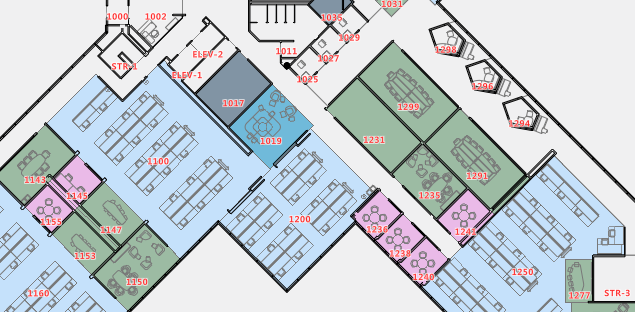
After using the Azure Maps Creator Onboarding Tool to create an indoor map from your floorplans, the default result can be customized and enhanced to your unique scenario. For example, you can customize your indoor map's look and feel to reflect your brand colors or emphasize rooms or specific areas of interest.
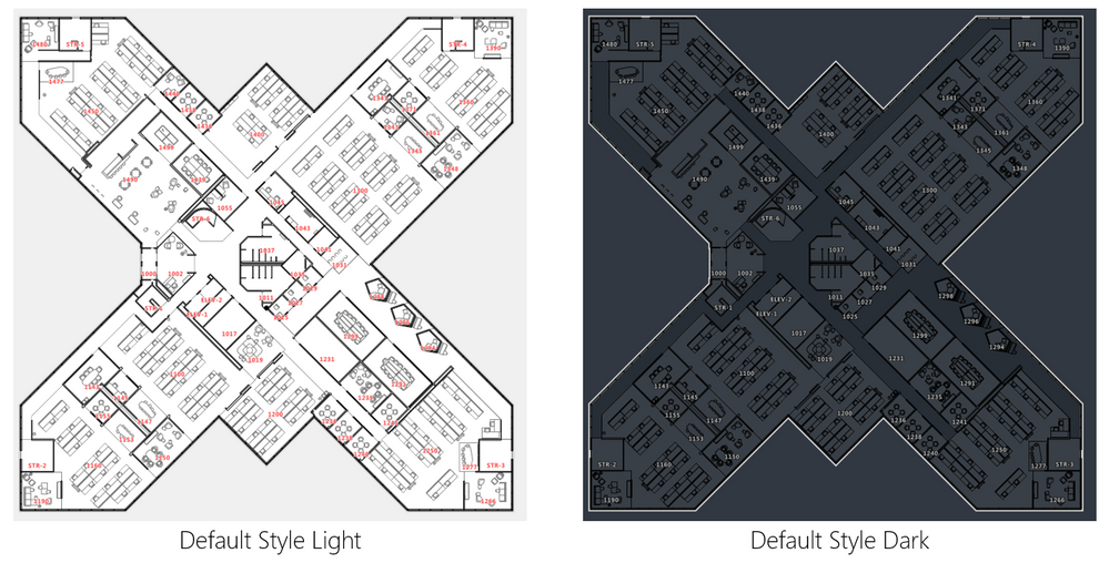
While we think Azure Maps Creator already gives you a beautiful default style, out of the box, you can customize your specific experience using Azure Maps directly or by leveraging the open-source style editor Maputnik. We have made Maputnik compatible with Azure Maps styling service. To get started, follow these steps: Create custom styles for indoor maps.

A style defines the visual appearance of a map. It defines what data to draw, the order to draw it in, and how to style the data when drawing it. Azure Maps Creator styles support the MapLibre standard for style layers as well as sprites.
Our previous blog post showed you our new onboarding tool that makes the manifest file for your drawing package. In the manifest, features are assigned a category definition as an object on the indoor map, like a room or furniture. These definitions give you more control of your indoor maps while ensuring you create consistent styles for objects that share the same category.
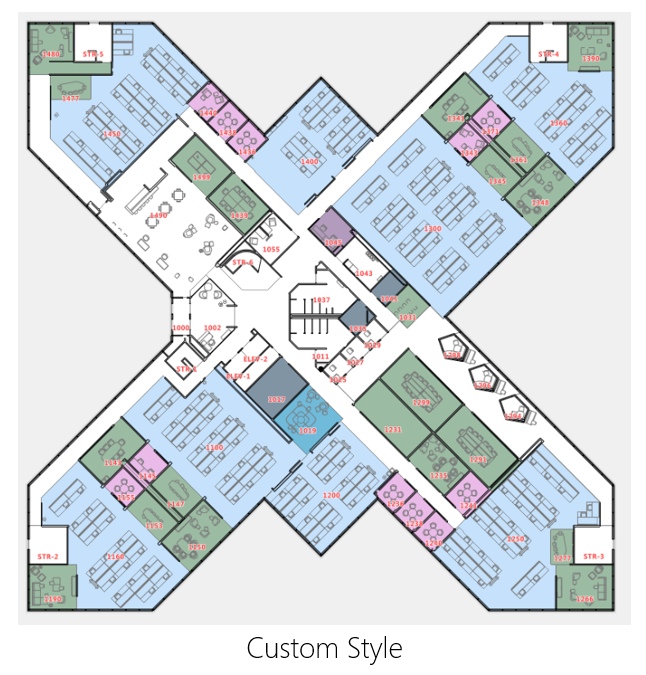
https://samples.azuremaps.com/?sample=creator-custom-styling
When you complete editing your style, you can either replace your existing style or save it as a new one. You can even offer multiple styles per building and let the user select a style using the style selector. This helps you to offer different but consistent experiences while leveraging your maps, even on large complex projects.
Dynamic styling
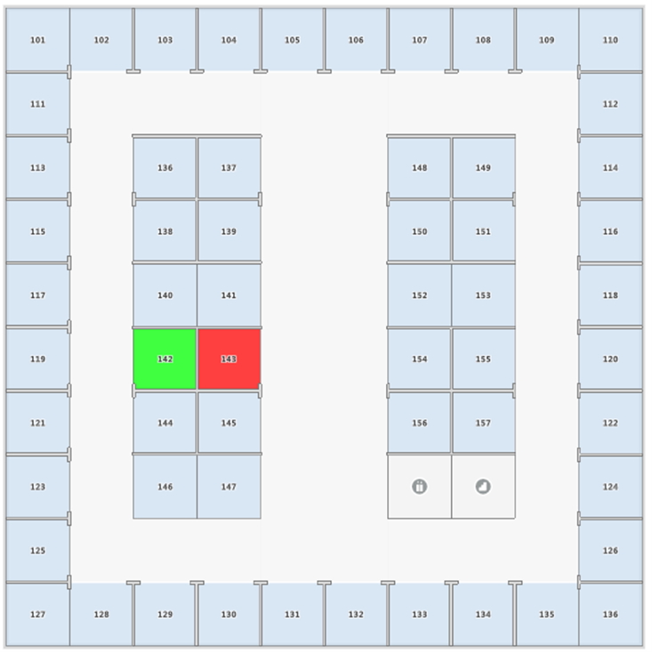
Azure Maps Creator also lets your interactive map be connected to events and triggers that can change the map experience based on what is happening in your building. For example, you can see the temperature and capabilities of each room or change the room's color to indicate if it is occupied. You can also use dynamic styling to customize the appearance of any indoor map feature (like a room) on the fly. To get started with Azure Maps Creator, you need to follow these steps: Implement dynamic styling for Azure Maps Creator indoor maps
Published on:
Learn moreRelated posts
Introducing the Data-Bound Reference Layer in Azure Maps Visual for Power BI
Imagine managing a nationwide sales team and needing to understand how your sales align with factors like population density, competitor locat...
Enhance Azure Maps with Overture Maps Data using PMTiles!
Supercharge Azure Maps with Overture Maps Data using PMTiles! We’ve got some exciting news. Azure Maps now supports PMTiles! This me...
Where do I go if I have questions about Azure Maps?
As you might expect, just looking around on your own, or asking Co-pilot, you can find comprehensive help like Samples.AzureMaps.com, wit...
Tailor your Reference Layers in Azure Maps Visual for Power BI
We’re excited to share the latest enhancements to the Azure Maps visual in Power BI, designed to make your data visualization even mor...
Enhancing Logistics with Azure Maps and NVIDIA cuOpt for Multi-Itinerary Optimization
The logistics industry is always finding ways to optimize vehicle routing to enhance efficiency. The Vehicle Routing Problem (VRP) and Pickup ...
Introducing the Unified Azure Maps Experience
Microsoft has recently announced the unification of Bing Maps for Enterprise (BME) with Azure Maps, marking a remarkable advancement in their ...
Power BI Azure Maps Visual: Enhanced Reference Layer & Embedded Support
The Power BI Azure Maps visual has received a major update which includes an expansion of the reference layer and the addition of Power BI Emb...
Enhance your indoor maps with real-time map feature styling
The ability to dynamically update and visualize the state of rooms or areas within a building is critical to understanding the status of any b...
Dynamic Clustering Aggregation with Custom Styling in Bubble Layer
The Power BI Azure Maps visual allows you to create stunning geospatial visualizations with your data. Today, we are excited to announce a new...
HO HO HO Two Point OH!
You might notice some big changes have come to the North Pole experience at NORADSanta.ORG this year. Developer elves have implemented a...