
Exploring the Azure Maps Creator Plugin for QGIS
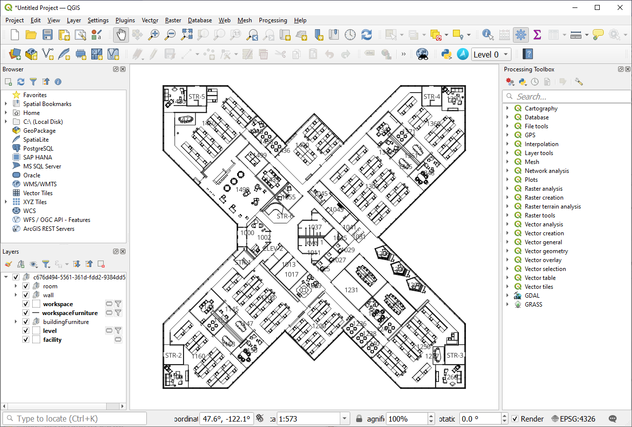
Azure Maps, Microsoft's comprehensive cloud geospatial mapping platform, offers robust support for Open Geospatial Consortium (OGC) standards, empowering users to leverage powerful spatial data capabilities. This blog dives into the OGC Features API and its integration with Azure Maps Creator, which specifically caters to private indoor maps. Furthermore, we will explore the Azure Maps Creator plugin for QGIS, an open-source tool that streamlines the visualization, editing, and synchronization of indoor maps.

|
Unlocking the Power of OGC Features APIThe OGC Features API is a versatile offering which enables the creation, modification, and querying of spatial data stored within Azure Maps Creator. By leveraging this API, users gain the ability to seamlessly integrate their converted indoor maps data into any GIS tool of their choice. This flexible approach ensures compatibility and empowers users to work with their preferred geospatial software, unleashing a world of possibilities. |
||
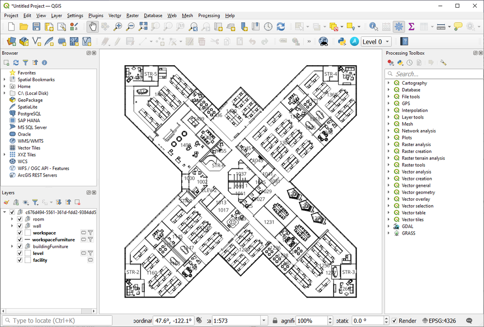
Effortless Floor ManagementManaging multiple layers and floors within a building can often present a challenge when working with indoor maps. The Azure Maps Creator plugin for QGIS was created specifically to meet this need. This powerful plugin simplifies the process of switching between floors, eliminating the frustration of locating and editing specific areas of interest. With just a few clicks, users can easily navigate through the building's layers using a convenient dropdown menu, improving efficiency and productivity. See the documentation about how to install and use the Azure Maps Creator plugin for QGIS. |

|
||

|
Seamless Synchronization with Azure MapsOne of the key advantages of the Azure Maps Creator plugin for QGIS is its ability to seamlessly synchronize changes made in the floorplan back to Azure Maps Creator. Previously, updating a floorplan required the tedious re-onboarding of the changed AutoCAD drawing into Azure Maps Creator. Now, leveraging the Features API and the QGIS plugin, users can make modifications directly within QGIS and directly save them back to Azure Maps Creator. This streamlined workflow saves time, eliminates extra work, and ensures that the most up-to-date floorplans are available. |
||
Conclusion
The integration of the OGC Features API with Azure Maps Creator brings forth far simpler and more effective tooling for spatial data management. With support for OGC standards, Azure Maps empowers users to create, modify, and query indoor maps effortlessly. The Azure Maps Creator plugin for QGIS further enhances this experience by providing seamless floor management capabilities and simplifying the synchronization of changes. By leveraging these powerful tools, users can maximize their productivity, reduce redundancy, and unlock the full potential of their indoor mapping projects. See also View and edit data with the Azure Maps QGIS plugin - Microsoft Azure Maps Creator | Microsoft Learn
Published on:
Learn moreWe can help you with Exploring the Azure Maps Creator Plugin for QGIS
If you want help implementing, troubleshooting, or improving this product, contact us and we’ll point you in the right direction.
Related posts
Introducing the Data-Bound Reference Layer in Azure Maps Visual for Power BI
Imagine managing a nationwide sales team and needing to understand how your sales align with factors like population density, competitor locat...
Enhance Azure Maps with Overture Maps Data using PMTiles!
Supercharge Azure Maps with Overture Maps Data using PMTiles! We’ve got some exciting news. Azure Maps now supports PMTiles! This me...
Where do I go if I have questions about Azure Maps?
As you might expect, just looking around on your own, or asking Co-pilot, you can find comprehensive help like Samples.AzureMaps.com, wit...
Tailor your Reference Layers in Azure Maps Visual for Power BI
We’re excited to share the latest enhancements to the Azure Maps visual in Power BI, designed to make your data visualization even mor...
Enhancing Logistics with Azure Maps and NVIDIA cuOpt for Multi-Itinerary Optimization
The logistics industry is always finding ways to optimize vehicle routing to enhance efficiency. The Vehicle Routing Problem (VRP) and Pickup ...
Introducing the Unified Azure Maps Experience
Microsoft has recently announced the unification of Bing Maps for Enterprise (BME) with Azure Maps, marking a remarkable advancement in their ...
Power BI Azure Maps Visual: Enhanced Reference Layer & Embedded Support
The Power BI Azure Maps visual has received a major update which includes an expansion of the reference layer and the addition of Power BI Emb...
Enhance your indoor maps with real-time map feature styling
The ability to dynamically update and visualize the state of rooms or areas within a building is critical to understanding the status of any b...
Dynamic Clustering Aggregation with Custom Styling in Bubble Layer
The Power BI Azure Maps visual allows you to create stunning geospatial visualizations with your data. Today, we are excited to announce a new...
HO HO HO Two Point OH!
You might notice some big changes have come to the North Pole experience at NORADSanta.ORG this year. Developer elves have implemented a...